


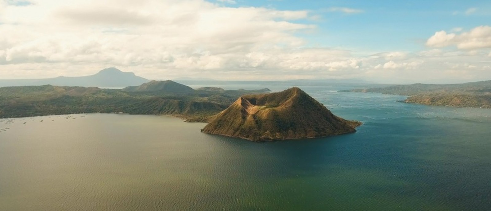
Taal Volcano, Batangas
Taal Volcano: A Lake Within an Island Within a Lake
Taal Volcano is one of the most unusual volcanoes in the Philippines, and I’ve been fortunate enough to visit Volcano Island three times, starting back in 2009.
Taal Volcano sits in Batangas, in the Calabarzon region, roughly 60 to 70 kilometres south of Manila. Most people see it from Tagaytay, which is about a two hour drive away.
What makes Taal so fascinating is its geography. You’ve got a massive volcanic caldera containing Taal Lake, with Volcano Island sitting in the middle. Inside Volcano Island is another volcanic crater, which historically contained its own lake.
So you’ve essentially got a lake within an island, within another lake, all sitting inside a much larger volcanic system!
It’s quite a remarkable sight, particularly when you’re looking down from Tagaytay.
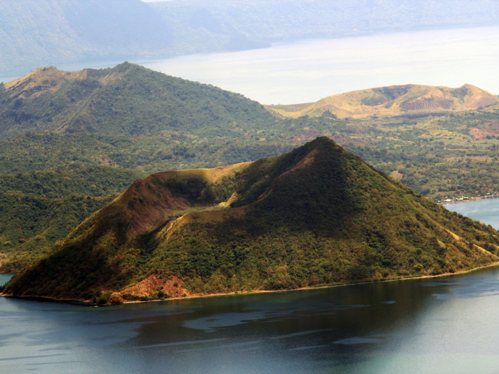
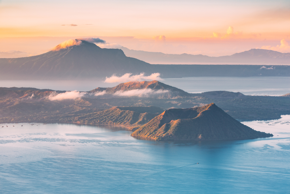
I’ve crossed Taal Lake by boat, walked up the volcano twice and ridden a horse to the crater on another occasion. It’s a spectacular experience, although I can tell you it’s also bloody hot, dusty and a bit more challenging than you might expect.
Unfortunately, things have changed considerably since I first visited. Taal erupted in January 2020, and ongoing volcanic activity has meant that visitors can no longer access Volcano Island.
These days, the experience is quite different, although the views from Tagaytay are still worth the trip.
My Experience Visiting Taal Volcano
I’ve been across to Volcano Island about three times, with my first visit back in 2009.
Back then, getting across was relatively straightforward. You could head down to one of the villages along the lakeshore, arrange a boat with a local boatman and make your way across to the island.
Once you arrived, you had two options for reaching the crater: walk or ride a horse.
I’ve done both. Twice I walked up, and on another occasion I went on horseback.
-
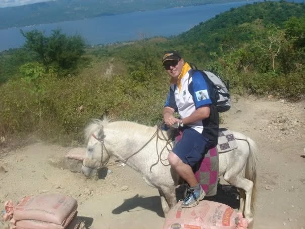
- Horse ride up Taal Volcano
-
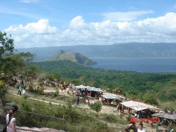
- Horse trail
The walk isn’t particularly long, but it’s more challenging than you might expect. The trail is rocky and uneven, with deep grooves worn into sections of the path by people and horses travelling up and down.
It’s also incredibly dusty. The horses kick up plenty of dirt, and by the time you reach the top, you’re likely to be covered in the stuff.
And then there’s the heat!
There’s virtually no shade along the trail, apart from a bit of scrub and grass, so you’re exposed to the sun for most of the climb.
Riding a horse makes the journey physically easier, although it’s not quite as comfortable as you might imagine.
Each horse is led by a local guide holding its reins, so you don’t need any riding experience. The horses generally just walk up the trail, but because of the uneven terrain, you’re constantly adjusting your position as the horse makes its way around rocks and grooves.
It’s certainly easier than walking, although I wouldn’t describe it as a leisurely ride along a flat path!
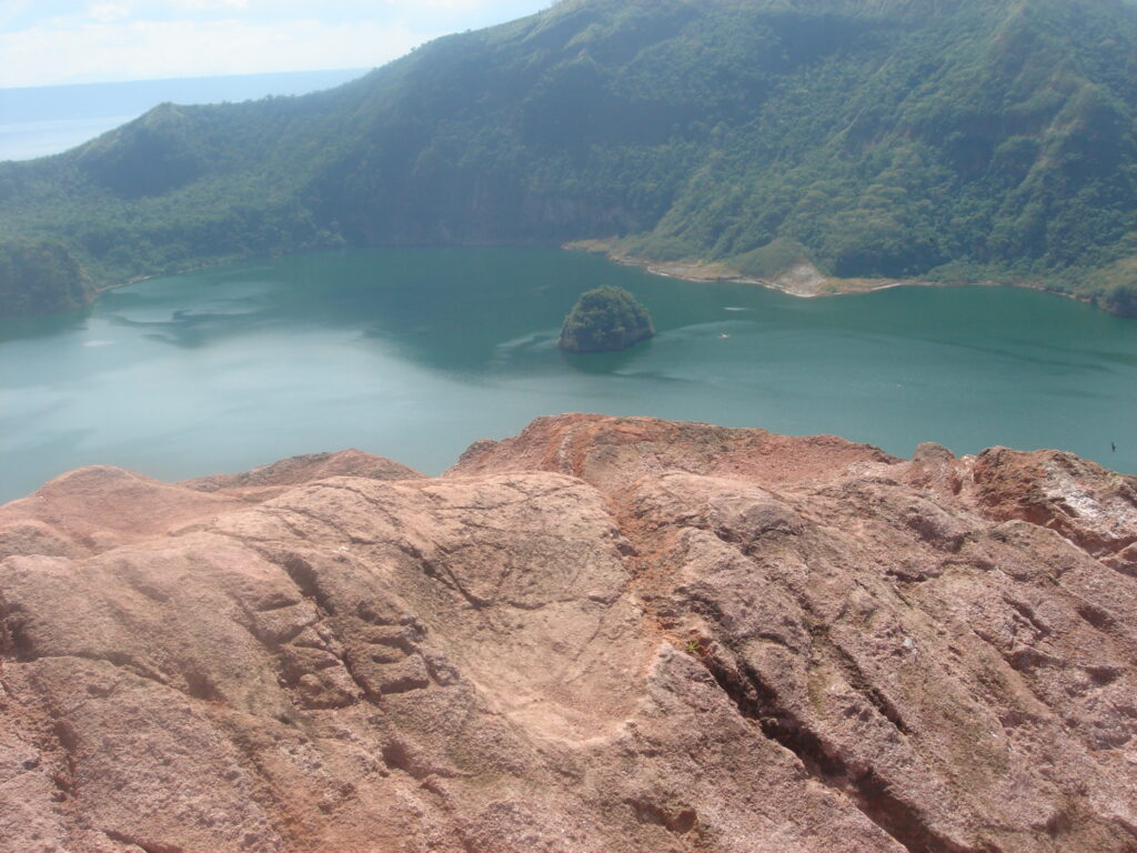
Once you reach the summit, the views are sensational.
You’re looking down into the volcanic crater, with the surrounding lake and mountains stretching out around you. I also remember seeing volcanic gases escaping from different parts of the landscape, which really brought home the fact that we were standing on an active volcano.
It’s quite an extraordinary experience.

The boat crossing was another memorable part of these trips. Most of the crossings were straightforward, although on one occasion the lake became quite choppy on our return journey. I remember the boatman having to make some fairly serious adjustments to deal with the conditions.


-
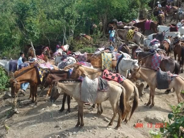
- Volcano horses

Can You Still Visit Volcano Island?
Unfortunately, the trips I described above are no longer permitted.
Taal Volcano erupted on 12 January 2020, producing a massive ash plume and prompting widespread evacuations. It reached Alert Level 4, meaning a hazardous eruption was considered imminent.
Since then, Taal has experienced further volcanic activity, including eruptions in 2021 and 2022, and it continues to show periods of unrest.
Volcano Island is designated a Permanent Danger Zone, and visitors are prohibited from entering. PHIVOLCS also advises against boating on Taal Lake because of volcanic hazards.
This means the old crater hikes and horseback rides are no longer available.
You can still enjoy spectacular views from Tagaytay, although I’d recommend checking the latest advice from PHIVOLCS before travelling.
Best Places to View Taal Volcano
Taal Vista Hotel
This is where I went during my most recent visit to Tagaytay in April 2026. The hotel has some excellent views across Taal Lake, although cloud cover can make photography a bit hit and miss.
Tagaytay Ridge Restaurants and Cafés
One of my favourite viewing areas used to be around the Starbucks and nearby restaurants overlooking the lake.
It’s become considerably more commercialised over the years, making access to some of the viewpoints less straightforward.
Tagaytay-Calamba Road
If you’re coming up from Santa Rosa, there are some excellent views as you reach the ridge and continue towards central Tagaytay.
Some sections are still relatively open, with grassland and fewer buildings obstructing the view. Along this stretch, you’ll get some great glimpses of the volcano, although trees, buildings and bends in the road occasionally get in the way.
Just make sure you pull over somewhere safe if you want to stop for photographs.
How Many Days Do You Need?
Taal Volcano is easily combined with a day trip to Tagaytay from Manila.
You can spend some time enjoying the views, have lunch at one of the restaurants overlooking the lake and check out a few other attractions around Tagaytay.
There’s no need to stay overnight specifically to see the volcano, although Tagaytay has plenty of accommodation if you fancy spending a couple of days in the area.
Best Time to Visit Taal Volcano
I’d recommend visiting between March and May, when the weather is generally drier and you’ve got a better chance of clear views across Taal Lake.
If you’re heading to Tagaytay to photograph the volcano, keep in mind that cloud cover can be a problem, even during summer. I’ve often found that clouds hang around the volcano during the morning before clearing later in the day.
The wetter months, particularly July to September, are less reliable for photography because of rain, mist and low cloud cover.
When I was visiting Volcano Island, I preferred getting across the lake as early as possible, ideally around 6 AM. The volcano gets bloody hot, there’s very little shade, and the exposed trail becomes increasingly uncomfortable as the day warms up.
Of course, volcanic activity is more important than the weather. Always check the latest PHIVOLCS advisories before making plans.
How to Get to Taal Volcano
The easiest way to see Taal Volcano is to drive to Tagaytay, approximately 60 to 70 kilometres south of Manila.
From Manila, take the South Luzon Expressway (SLEX) and exit at Santa Rosa, then follow Santa Rosa-Tagaytay Road up to the ridge. Alternatively, you can take CALAX towards the Santa Rosa-Tagaytay exit.
Allow around 1.5 to 2.5 hours, depending on where you’re coming from and the traffic.
If you’re using public transport, buses to Tagaytay depart from the Parañaque Integrated Terminal Exchange (PITX). From Tagaytay, you’ll need local transport to reach your preferred viewpoint.
Before the 2020 eruption, I used to arrange a local boat from the Talisay side of Taal Lake to reach Volcano Island. That’s no longer an option for visitors under the current restrictions.
Good to Know Before You Go
- Check PHIVOLCS advisories before travelling, even if you’re only planning to view the volcano.
- March to May generally offers better opportunities for clear photographs.
- Cloud cover can obscure the volcano, so allow some flexibility with your timing.
- Weekdays are generally better for avoiding Tagaytay’s traffic and weekend crowds.
- Don’t attempt to enter Volcano Island, even if someone offers to take you there.
Dezza’s Tip
If you’re heading to Tagaytay specifically to photograph Taal Volcano, I’d recommend going during the dry season and allowing plenty of time for the clouds to clear.
I’ve been there on days when the volcano was almost completely obscured, only for the clouds to clear later in the afternoon.
It’s worth being patient because when the conditions are right, the views are absolutely sensational.
I’m also glad I had the opportunity to explore Volcano Island before the 2020 eruption. Walking up to the crater, experiencing the heat and dust, and seeing those volcanic gases escaping from the ground was something quite special.
Unfortunately, it’s an experience visitors can no longer enjoy, at least under the current restrictions.
You Might Also Like
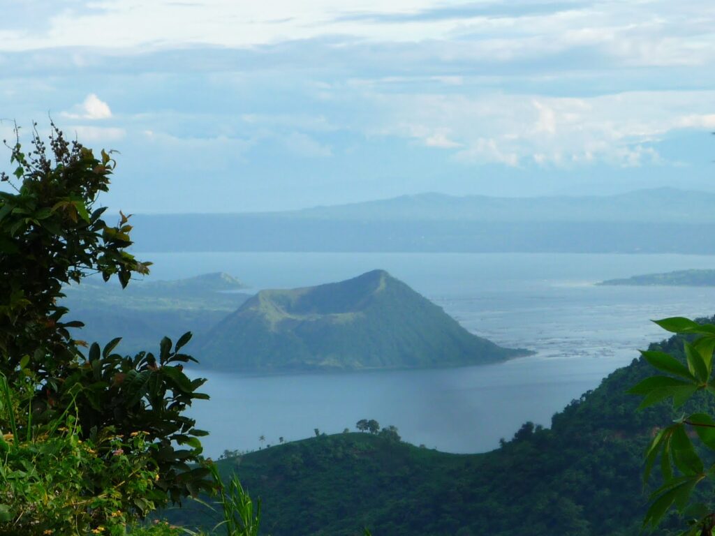 TagaytayCool weather and the best views of Taal Lake
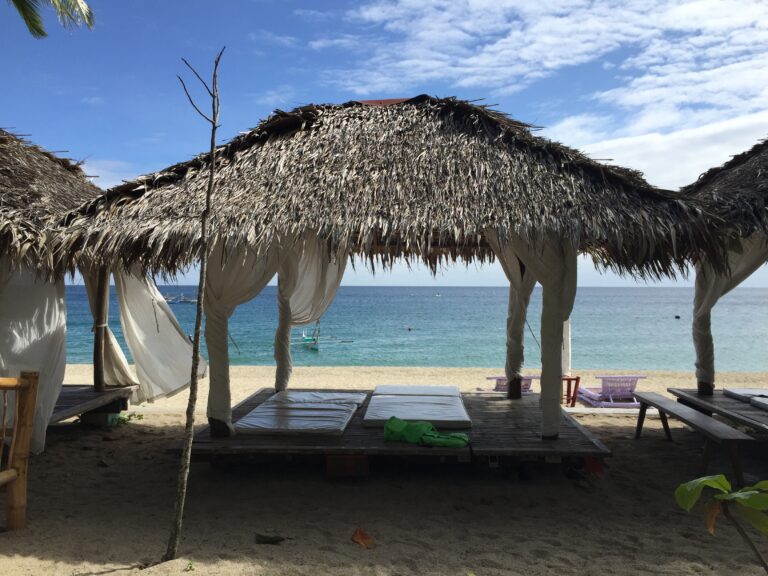 LaiyaOne of the popular beaches in Batangas
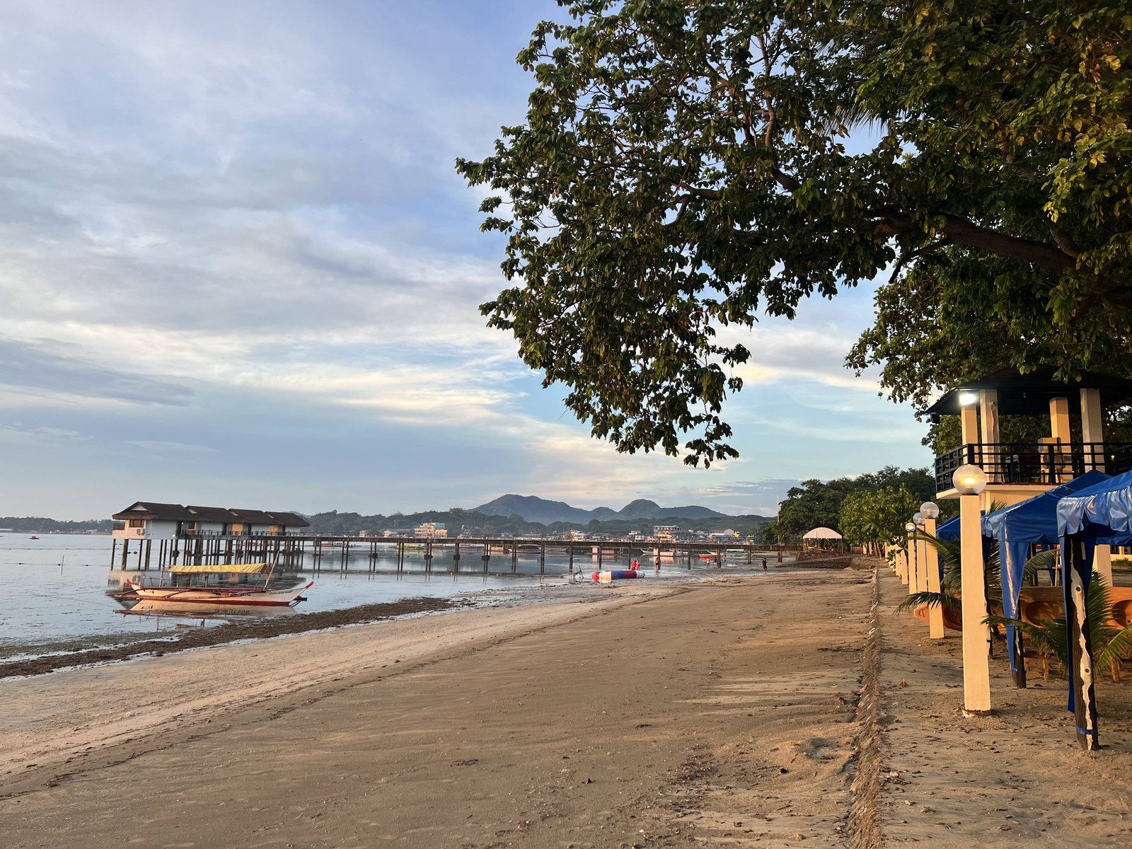 Matabungkay BeachA relaxed beach stay in Batangas
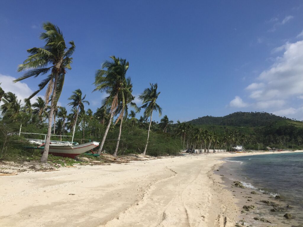 Maricaban IslandA quiet island getaway
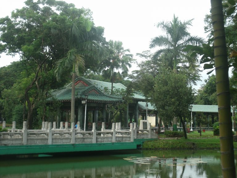 Rizal ParkGardens, monuments and history right next door.
 IntramurosManila’s historic walled cityManila Ocean Park
Where Is Taal Volcano?

Unsubscribe anytime.