


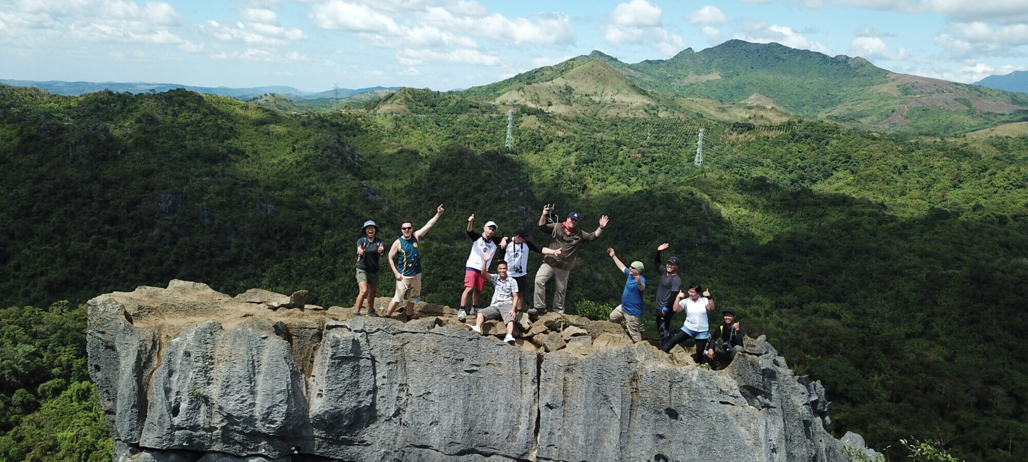
Nagpatong Rock, Rizal
Nagpatong Rock: A Rugged Limestone Adventure Near Manila
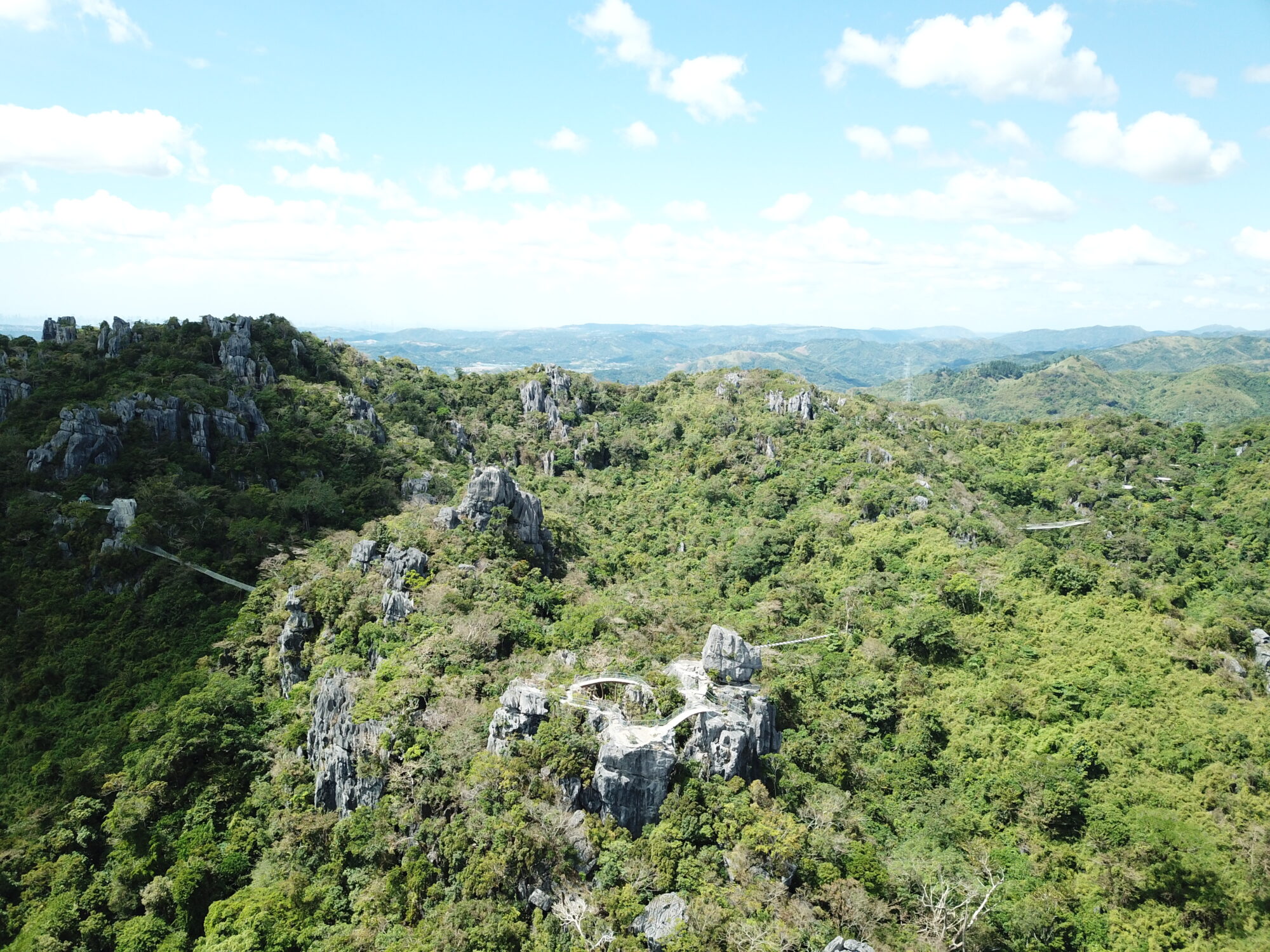
Nagpatong Rock is one of the most unusual natural attractions I’ve visited in the Philippines. Hidden among the mountains of Tanay, Rizal, these massive, jagged limestone formations look almost as though they’ve been placed there from another location.
Nagpatong Rock is in Barangay Cuyambay, Tanay, in the Sierra Madre foothills of Rizal in Calabarzon, about 1.5 to 2.5 hours by road from Metro Manila.
I visited in 2018 with a group of friends on a day trip from Manila, and it turned out to be one of the most memorable adventures I’ve had in the Philippines. Getting there required a pretty challenging hike, some scrambling over rocks and a rather intimidating climb up a bamboo ladder.
Was it worth it? Absolutely!
Best Time to Visit
The best time to visit Nagpatong Rock is during the drier months, particularly December to February, when temperatures are generally more comfortable for hiking and the trails are less likely to be muddy.
March and April can also offer good conditions, although the heat can make the steep sections considerably more demanding.
The wetter months, particularly July to September, are less favourable. Rain can make the rocky trails slippery, while exposed sections around the formations become more dangerous.
I’d recommend starting early in the morning, avoiding days with heavy rain or strong winds, and checking local trail conditions before setting off.
The Hike to Nagpatong Rock
Our adventure got off to a slightly frustrating start. The registration process was a complete shambles, with confusing directions, poor signage and the need to drive between different locations just to get organised.
Fortunately, once we finally hit the trail, everything improved from there.
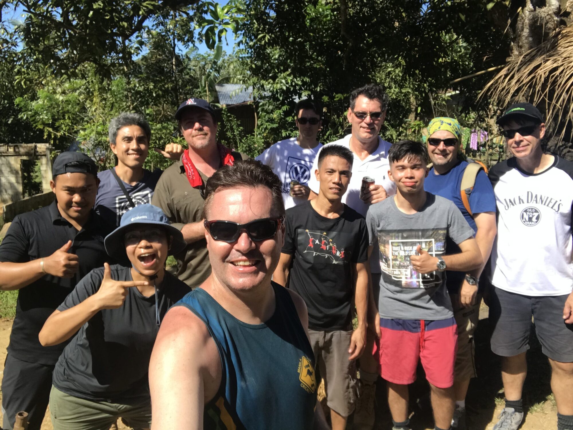
There were 11 of us in the group, accompanied by two local guides who knew the area like the back of their hands.
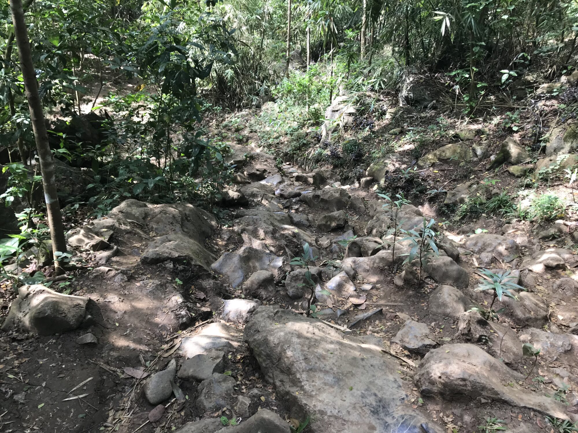
The hike to the base of the rock formations was approximately six kilometres, with a combination of relatively manageable trails, steep inclines and rocky sections. Some parts required a fair bit of effort, although the terrain was generally manageable with decent footwear and reasonable fitness.
As we approached the formations, things became considerably more challenging. The rocks were incredibly rugged and jagged, with narrow passages and sections where we were practically scrambling on all fours. There were several vantage points to explore, some considerably harder to reach than others.
This was definitely no leisurely stroll through the countryside!
-
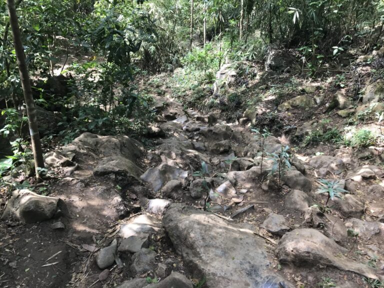
- The trail to Nagpatong Rock
-
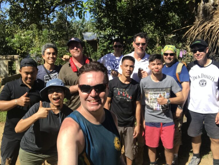
- Our group of 11
Reaching the Summit
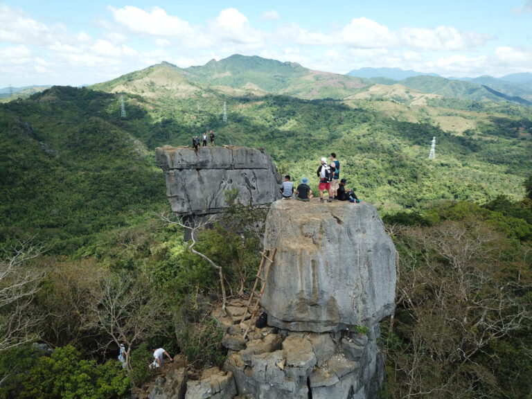
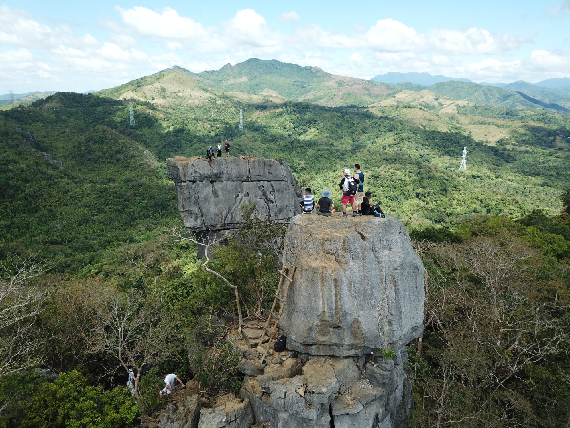
Nagpatong Rock up close was absolutely mind-blowing. The sheer size and unusual shape of these towering limestone formations were unlike anything I’d seen before. Their jagged surfaces and almost rectangular appearance made them look like something from another world.
Reaching the top involved climbing a rather makeshift-looking bamboo ladder, which certainly added to the adventure!
Once we reached the summit, the views were absolutely spectacular. We could see across the surrounding mountains and valleys. To top it all off, one of my mates had brought a drone, allowing us to capture some incredible aerial footage.
However, there’s something important worth mentioning. There were no safety barriers at the summit when I visited. Some sections had sheer drops, narrow footholds and very little margin for error.
At the time, I felt reasonably comfortable staying towards the centre of the rock. Looking back at the video footage, though, I realise just how dangerous some of those exposed sections could be.
It’s an incredible experience, but definitely not somewhere to become complacent.
-
- Nagpatong Rock formations
-
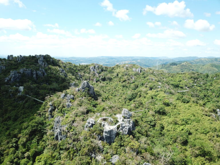
- Limestone peaks of Tanay
How Difficult Is the Hike?
I’d classify the overall experience as difficult, particularly if you intend to climb the formations and reach the summit.
The main hiking trail is manageable for reasonably fit people, although there are some steep and rocky sections. The real challenge begins when you reach the formations themselves.
You’ll need good balance, confidence on uneven terrain and a willingness to scramble over rocks and climb ladders.
I wouldn’t recommend the summit climb for young children, anyone uncomfortable with heights or people with limited mobility. Older hikers should assess their fitness and the conditions carefully rather than relying on age alone.
You can still enjoy the scenery around the base of the formations without attempting every exposed viewpoint.
How Many Hours Do You Need?
Allow approximately five to six hours for the entire hiking experience, including rest stops, exploring the rock formations and enjoying the summit views.
That’s an estimate based on my visit rather than a guaranteed hiking time. Your actual duration will depend on your fitness, trail conditions and how busy the summit area is.
If you’re travelling from Metro Manila, I’d set aside a full day for the adventure.
How to Get There
Nagpatong Rock is located in Barangay Cuyambay, Tanay, Rizal, in the Sierra Madre mountains.
By private car: From Metro Manila, head towards Antipolo and Cogeo, then follow Marilaque Highway towards Barangay Cuyambay. Allow approximately 1.5 to 2.5 hours, depending on traffic and your departure point.
By public transport: From Cubao, take a jeepney towards Cogeo Gate 2, then another heading towards Sampaloc, Tanay. Get off at the Cuyambay junction and arrange a tricycle to the barangay registration area.
Registration and guides: Visitors generally register at Barangay Cuyambay Hall before arranging a local guide and proceeding to the trailhead. Check the current meeting point and access arrangements before travelling, as these can change.
Personally, I’d recommend travelling by private vehicle or arranging a van with a driver, particularly if you’re visiting with a group. It makes the journey considerably easier, and you can share the transport costs.
Good to Know Before You Go
- Wear proper hiking boots or sturdy runners with good grip. Avoid flip-flops.
- Bring plenty of drinking water, snacks, sunscreen and a basic first-aid kit.
- Arrange a local guide and confirm trail access before making the journey.
- Avoid hiking during heavy rain, particularly when the exposed limestone becomes slippery.
- Allow plenty of time and never underestimate the risks around exposed rock edges.
Tanay has plenty more to offer if you are staying the day, including Daranak Falls and Calinawan Cave. My original trip notes are in my Nagpatong Rock travel tips blog.
Dezza’s Tip
Nagpatong Rock is absolutely worth visiting if you’re reasonably fit, adventurous and comfortable with heights. The rock formations are unlike anything else I’ve seen in the Philippines, and the views from the top are simply mind-blowing.
My biggest advice is to take your time and respect the terrain. Some sections are genuinely challenging, and there’s very little room for error around those exposed edges. It’s not for the faint-hearted, but if you’re up for the challenge, it’s one hell of an adventure!
You Might Also Like
 Daranak FallsPopular waterfall and swimming spot in Tanay.
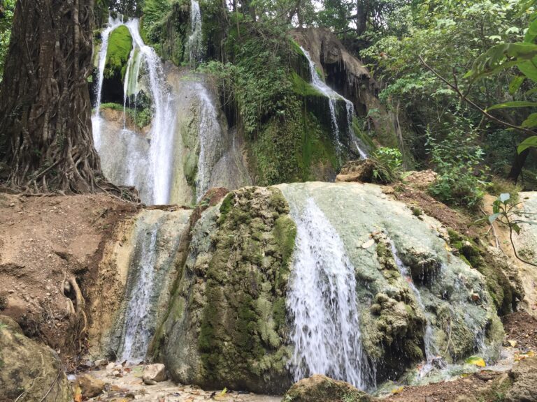 Batlag FallsWaterfall and natural pool in the Tanay hills.
 Calinawan CaveEnormous cave system in the Tanay mountains.
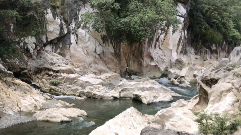 Tinipak RiverClear river and limestone scenery in Tanay.
Watch The Full Video
Where Is Nagpatong Rock?

Unsubscribe anytime.